Map screen examples
Map screen design examples from SaaS apps. Explore how apps combine geographic information with interface controls. Look at how locations, map markers, and related details connect the map to a list…
Explore the examples
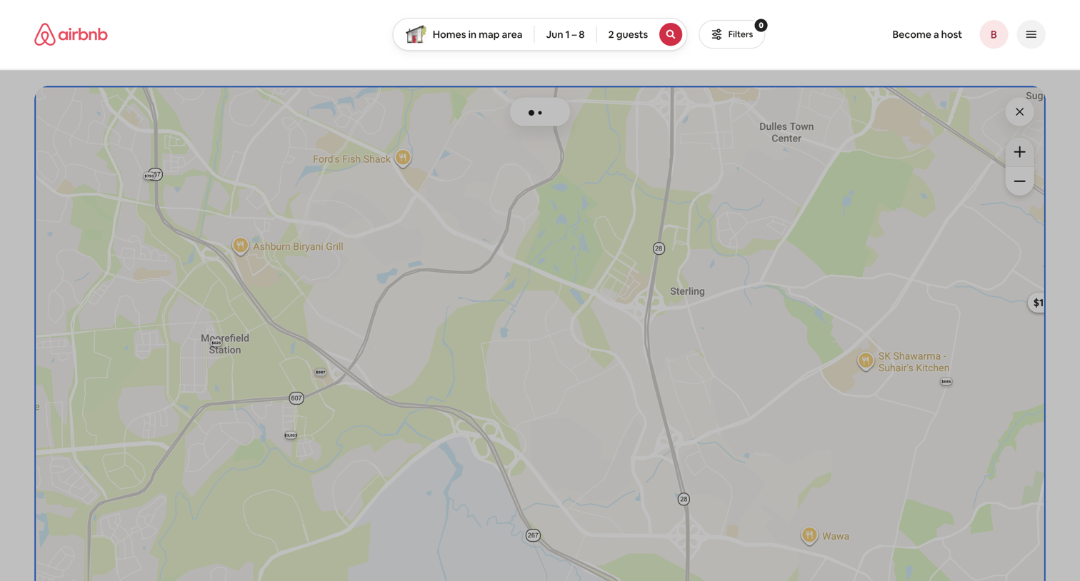

Search results page where the user explores homes on an interactive map with price markers for a specific date range and guest count.
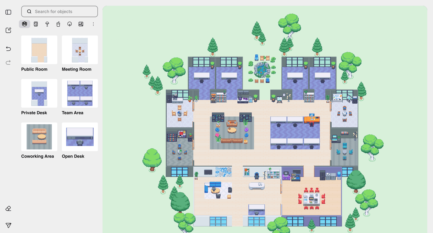

Design editor where the user builds a 2D virtual office environment by searching for and placing room templates like meeting rooms and private desks onto a canvas.
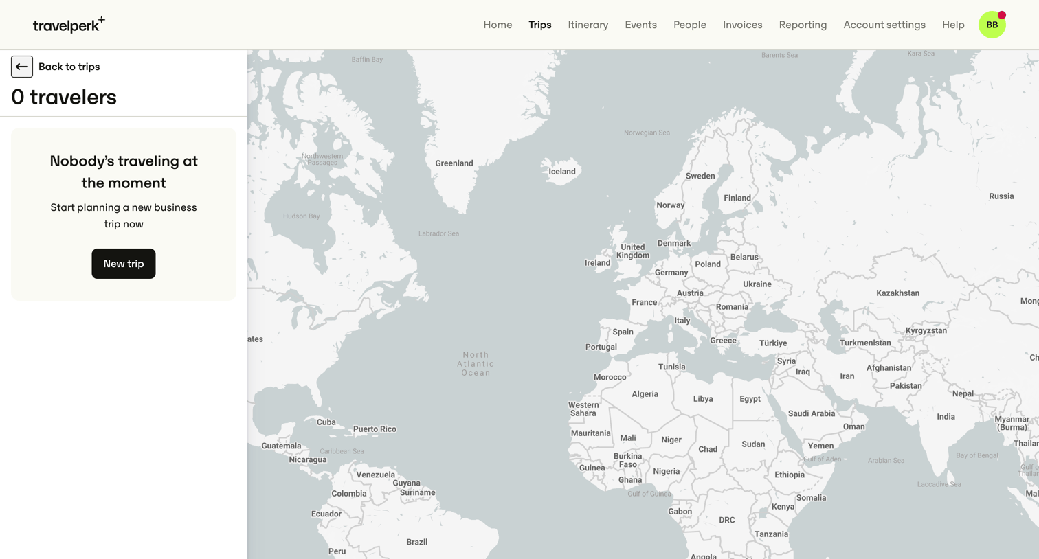

Map view showing the current locations of traveling employees, currently in an empty state prompting the user to plan a new trip.
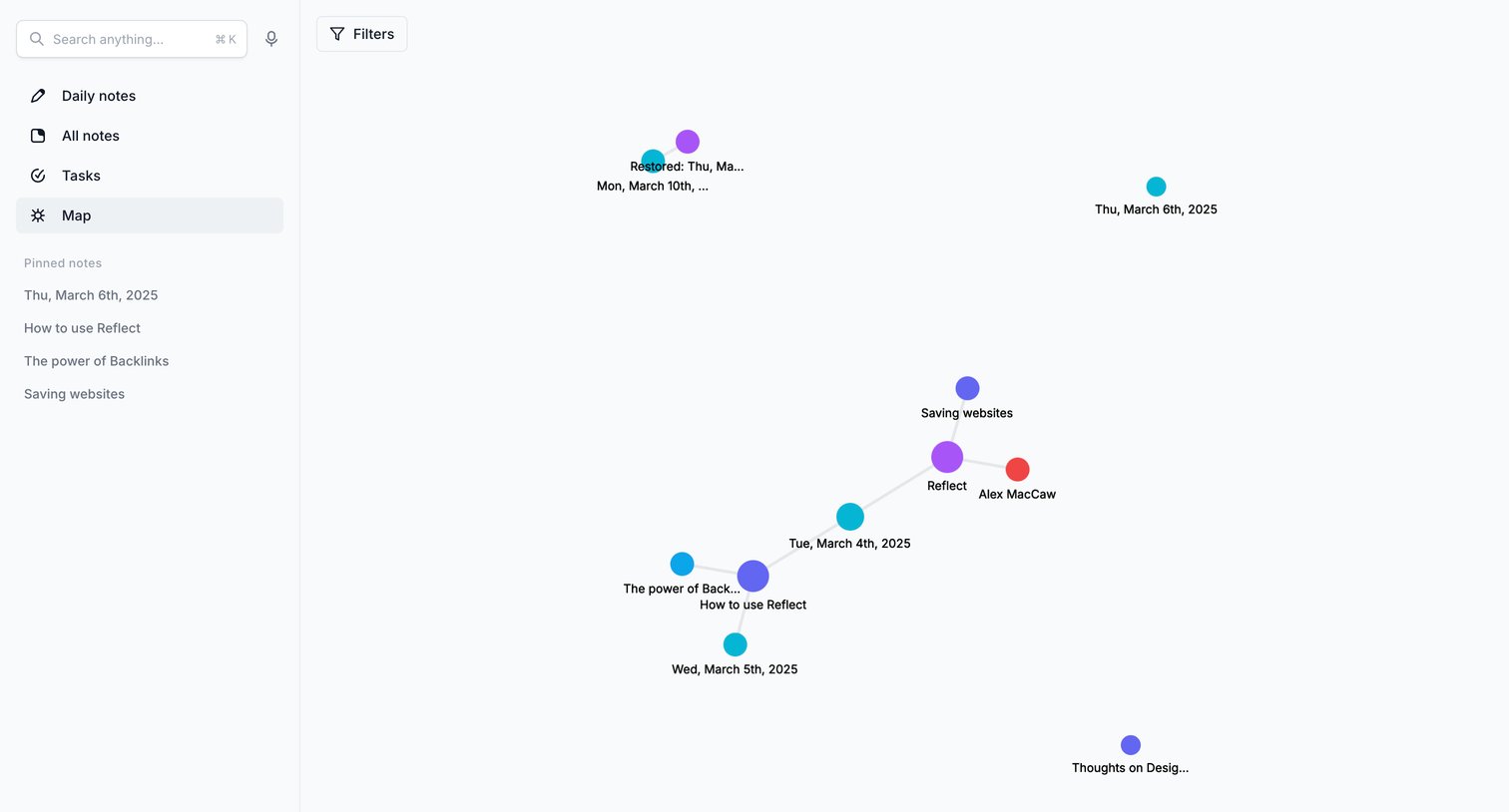

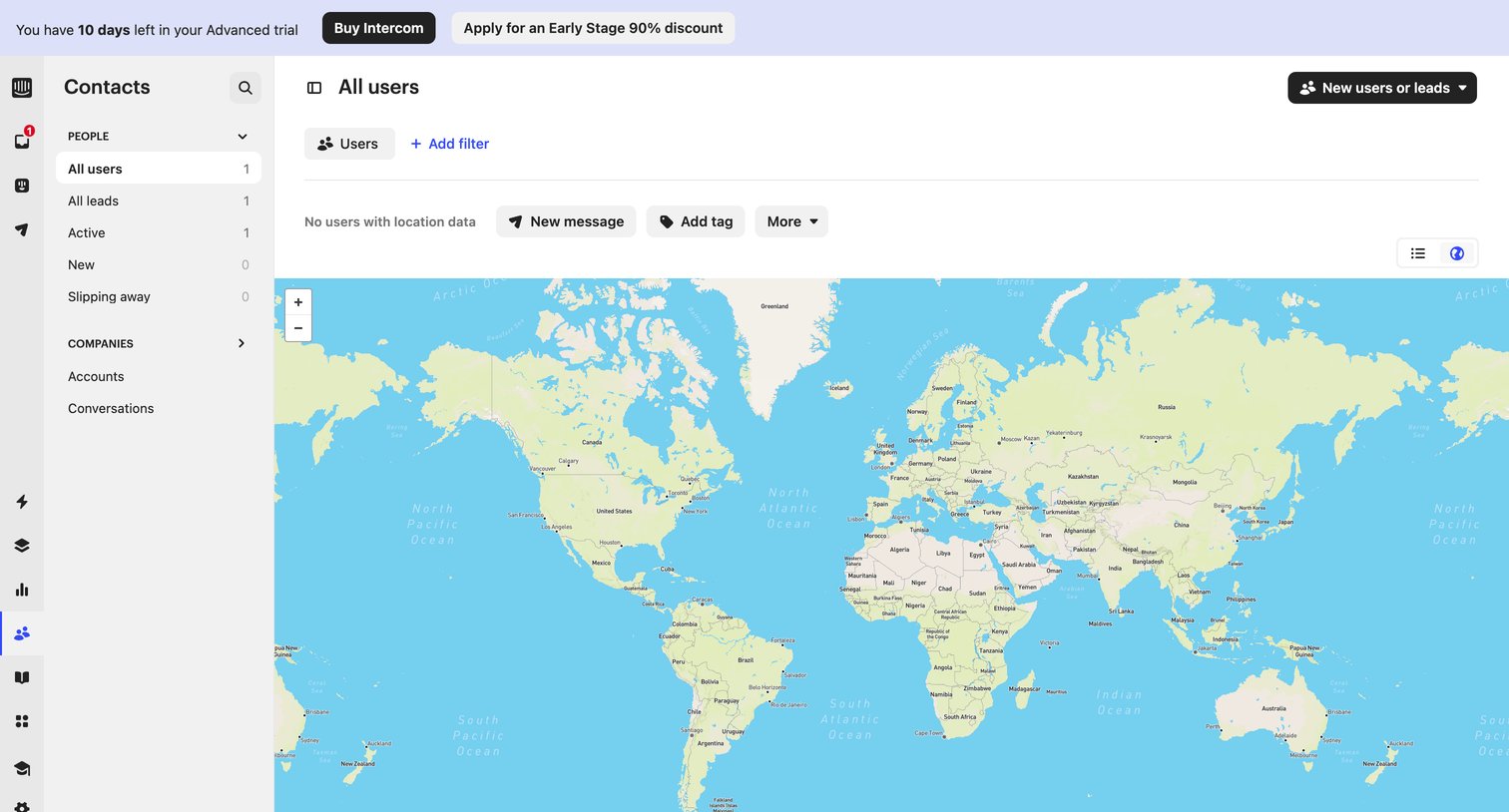

List view where the user views their contacts plotted on a world map, currently showing an empty state for location data beneath a trial expiration banner.
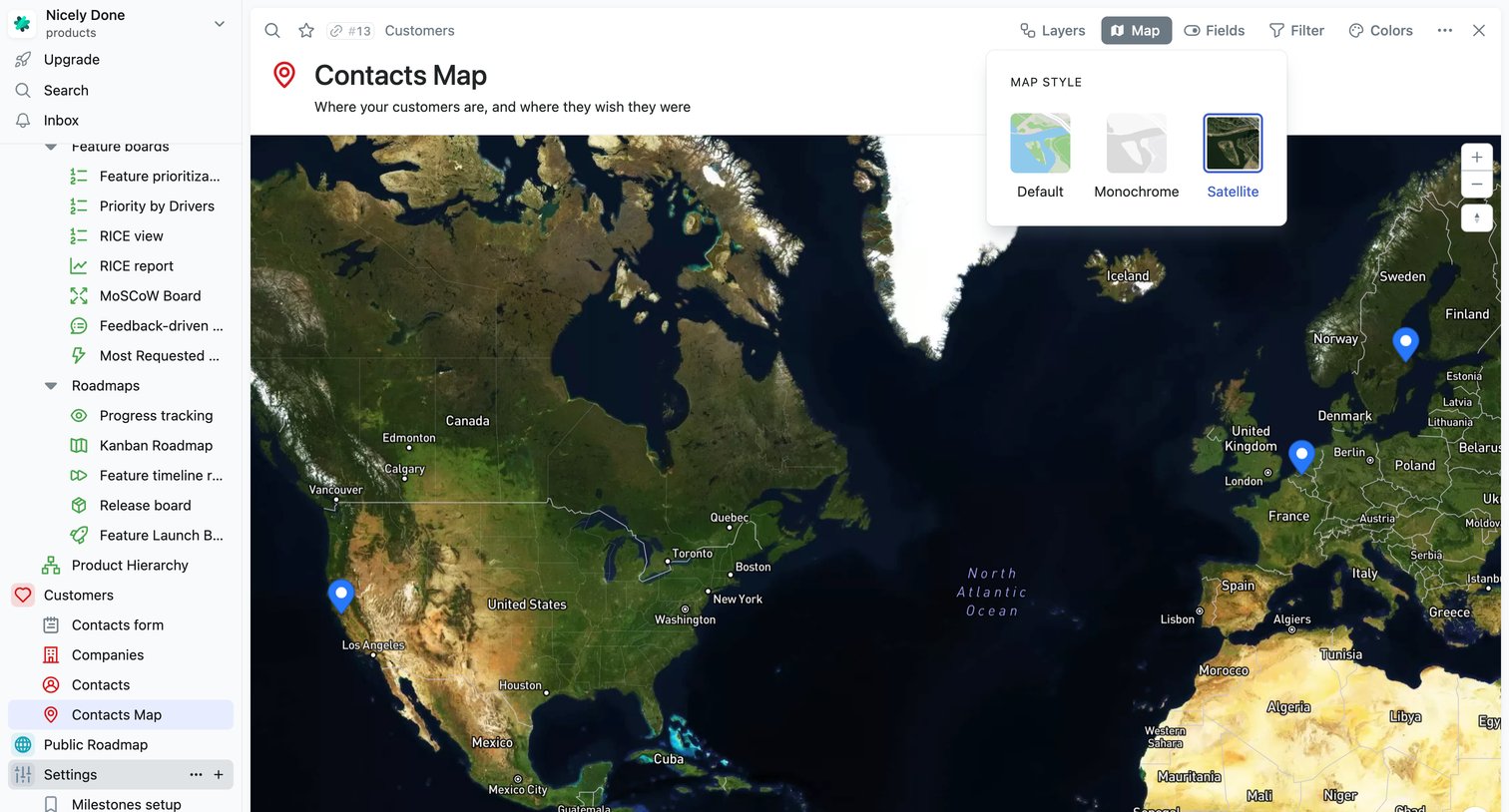

Map view displaying customer locations across the globe with an open popover to switch the map style to satellite.
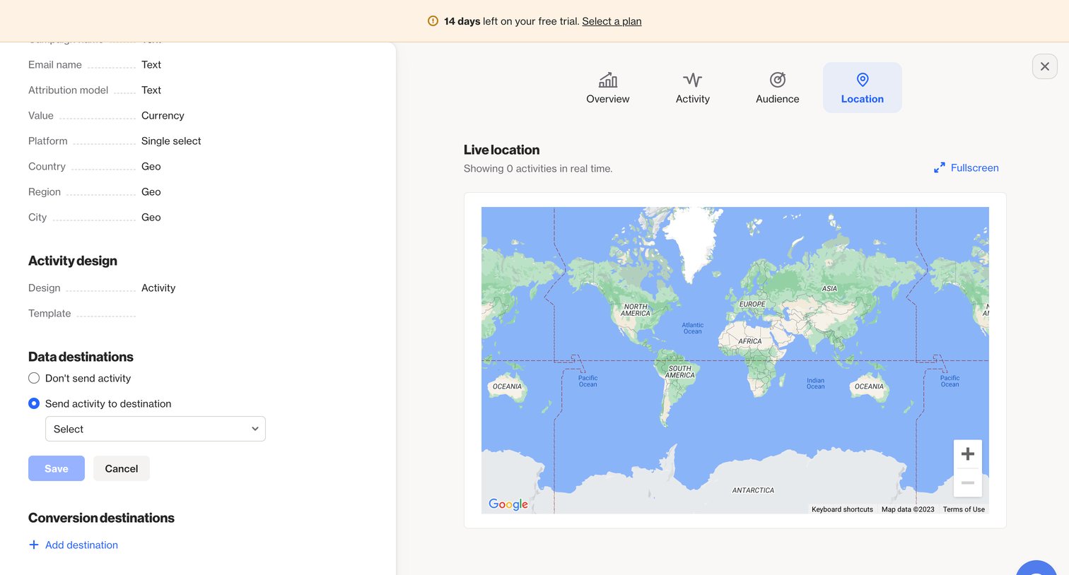

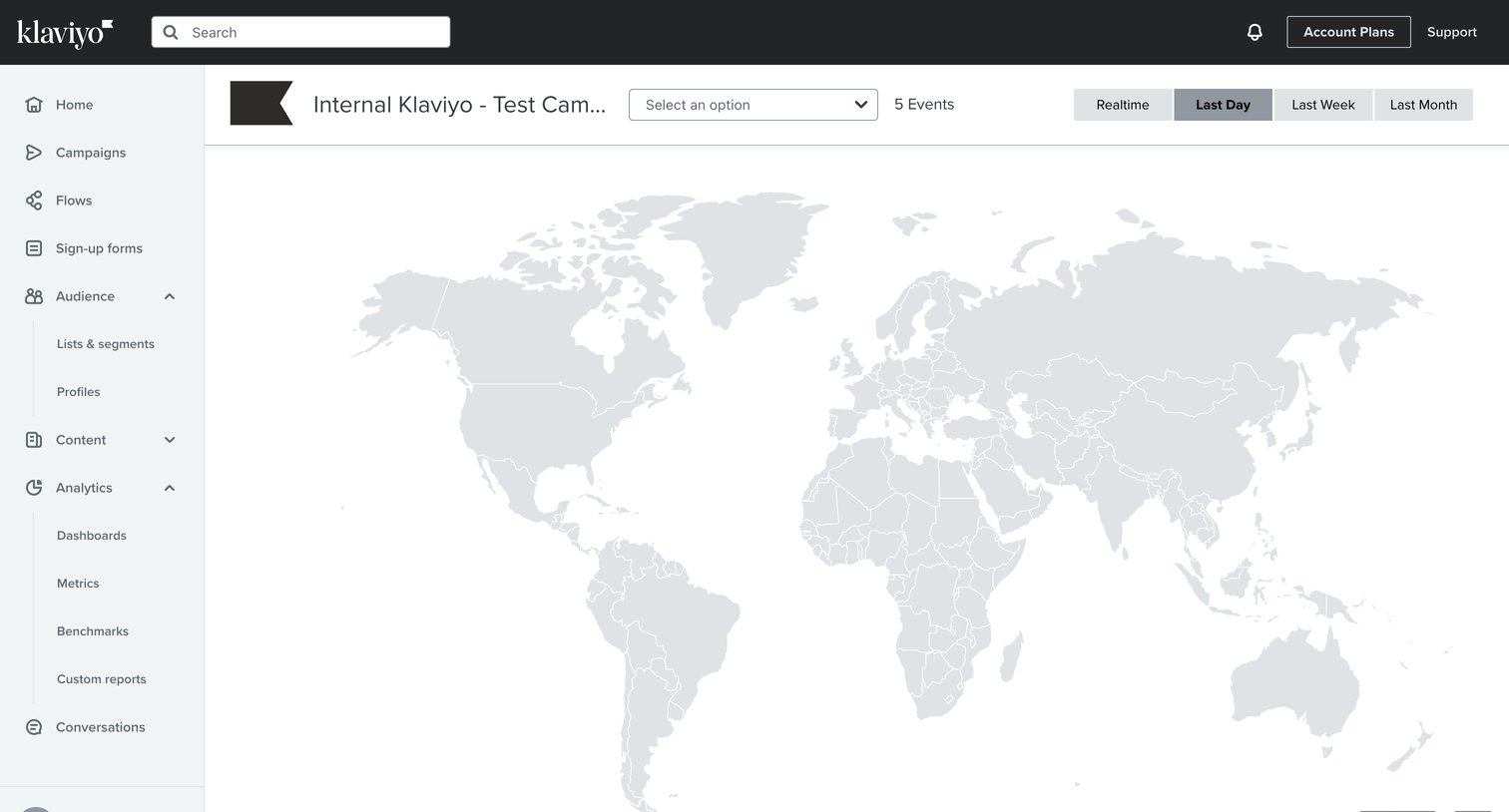

Map view displaying campaign event activity across geographic regions with time range filters.
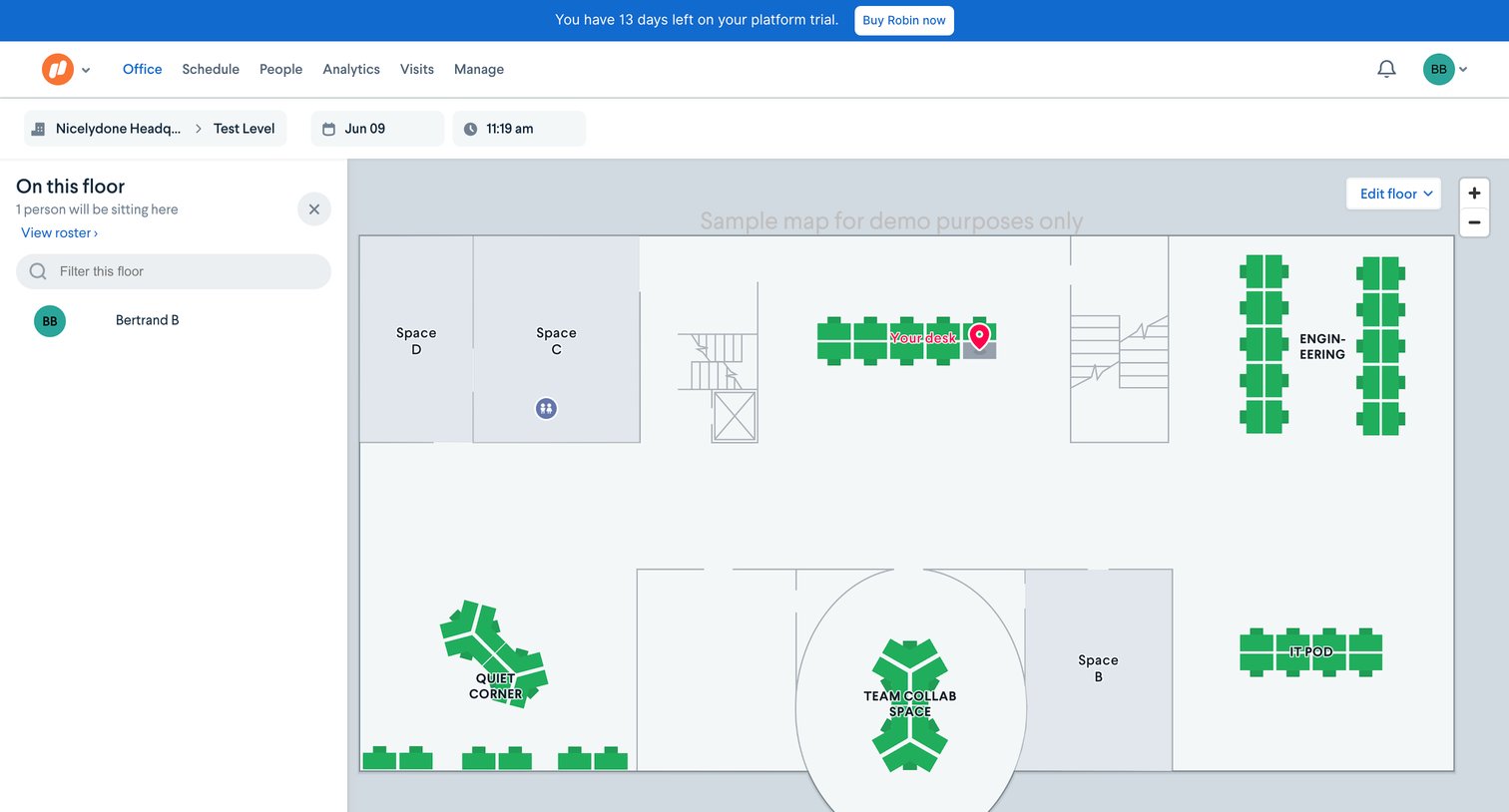

Interactive office floor plan map where the user can view desk availability, locate colleagues, and filter spaces by date and time.
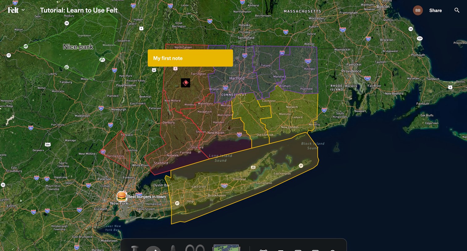

Design editor where the user annotates a satellite map with custom polygons, routes, text notes, and markers using a floating tool palette.
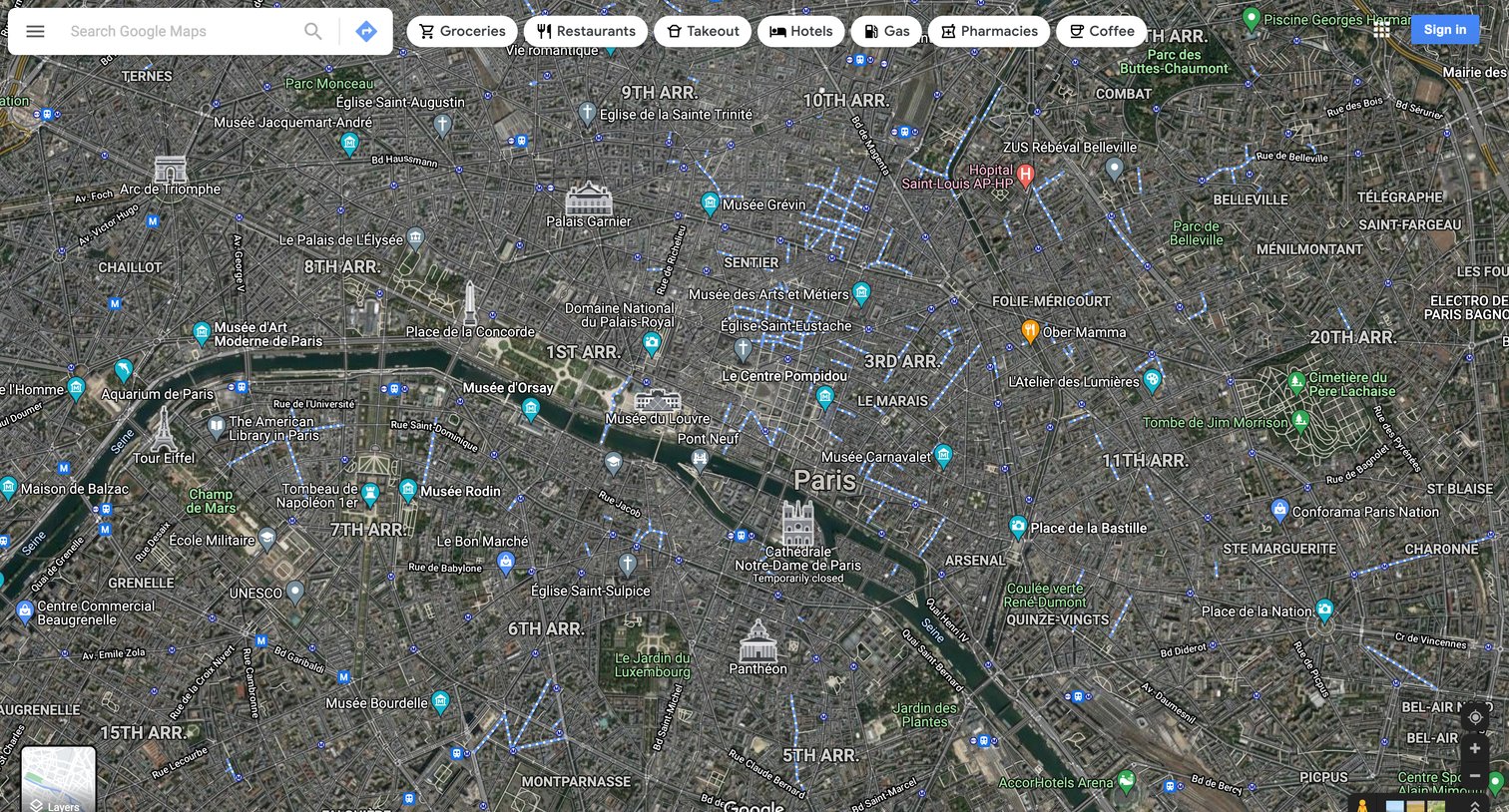

Full-screen satellite map view of Paris with a floating search bar and quick category filters for exploring places.
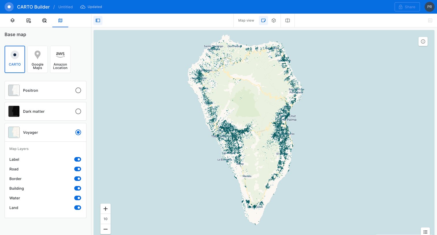

Design editor where the user configures a map visualization by selecting a base map provider, style, and toggling specific map layers like roads and buildings.
Explore the full SaaS screen library
Upgrade to unlock the full library.
Trusted by the best teams








About Map
Explore how apps combine geographic information with interface controls. Look at how locations, map markers, and related details connect the map to a list or selected place.